The Challenge
Start and finish at the Glen Nevis Youth Hostel.
Go clockwise or anti clockwise.
Visit all summits in the correct order, depending on the direction of travel.
Complete the route within 24 hours.

Who
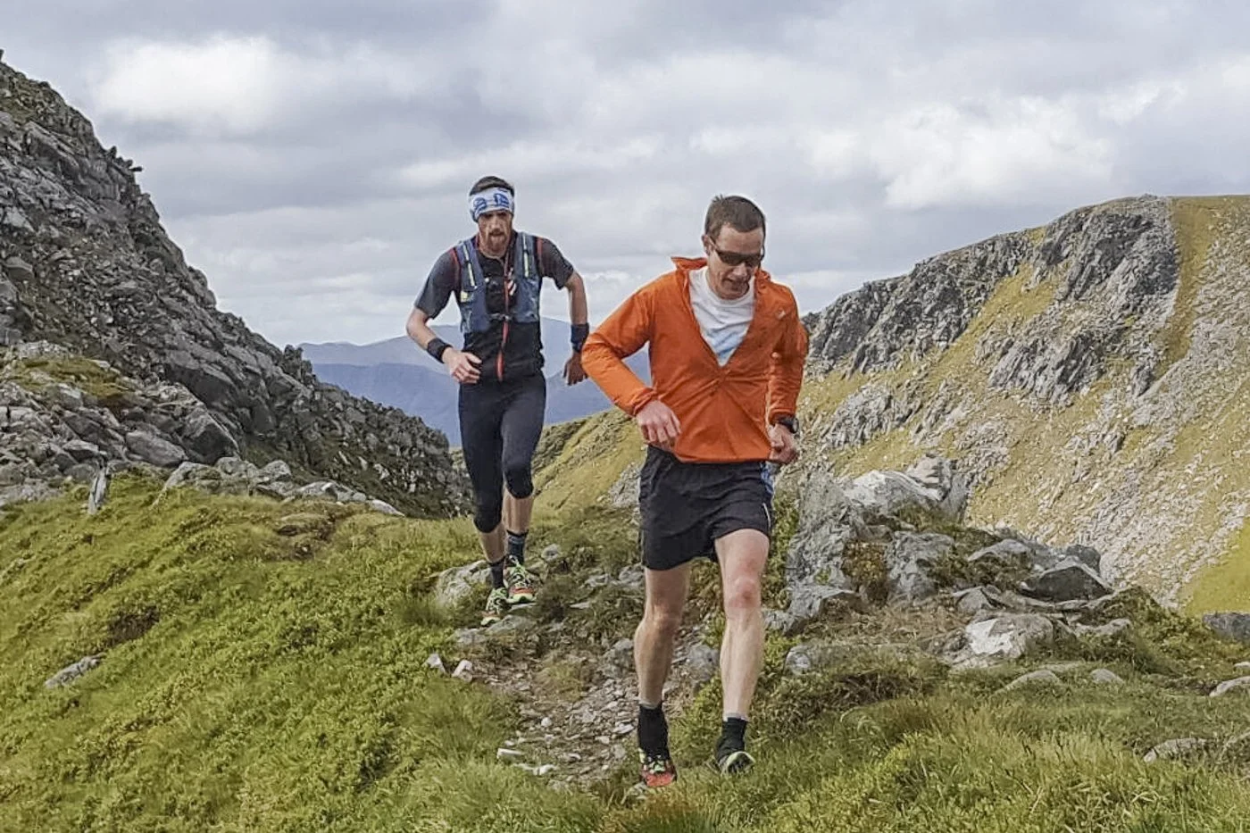

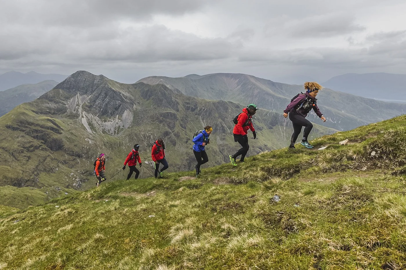
Credit: Black Trail Runners/Inov8
What
Ramsay’s Round is an extension of Tranter’s round, a high level circuit of Glen Nevis first run by Philip Tranter in 1964; travelling anticlockwise across the Mamores, (10 munros), crossing the glen onto the Grey corries (4 munros), the Aonachs (2 munros) and onwards towards Carn Mor Dearg, culminating on Ben Nevis, (2 munros) Britain’s highest mountain to finish back at Glen Nevis. In 1978, Charlie Ramsay successfully extended the Round by 5 Munros, heading east off the Mamores to the south end of Loch Treig, onto Beinn na Lap, Chno Dearg and Stob Coire Sgriodain, before descending to the north end of Loch Treig. From here, he joined the Easains, descended to the Lairig Leacach, climbed Stob Ban and rejoined the Tranter’s original route.
How
All contenders must start (and hopefully) finish at the Youth Hostel in Glen Nevis, but you can choose to follow in Charlie’s footsteps and finish on the Ben, or get the big climbs out of the way first and finish on the Mamores. Either way it’s a challenge! Charlie insisted that all summits en route must be visited in the correct order, either way. For your Round to be recorded, you must finish within 24 hours.
Ramsay’s Round differs to many other British ultra distance routes because obvious options for support stops are more limited. These Transition Areas are discussed below.
Is it for you?
Charlie was a great believer that the hills were for everyone. Most competent and physically able hillgoers can complete Ramsay’s Round, in one go or in sections. However, it does take a special kind of madness (and lots of practice) to attempt to do so in 24 hours. Look at the Preparation page to get an idea.
Should you have company?
Supported: Ramsay’s Round does not require challenge contenders to have pacers or support teams, but both are highly recommended.
This provides a safety net in the event of mishaps on the hill, eye witness verification of arrival on each summit, load carrying, navigational and route finding assistance and most importantly, well chosen company will keep you in good spirits throughout your challenge.
Unsupported: Running completely unsupported does reduce one’s safety margin by a considerable degree.
Additionally, you must carry all of your food, drinks, foul weather clothing and other personal items for use on the hill, neccessitating a very heavy pack at the start. Both from a safety and a practical point of view, Charlie didn’t recommend it as a sensible strategy.
Due to there being so many interpretations of solo or unsupported attempts (for example - doing part of the round supported and part unsupported, contenders completing the round together and claiming solo or unsupported, getting support at one or all of the Transition Areas, or getting food/fluid/equipment supplied whilst on the hill and being accompanied for a few miles/stops) a specific definition is impossible to define and manage. Therefore, for contenders finishing within 24 hours, only finishing number, date, name, time and direction are recorded. (The solo or unsupported column was removed in 2014).
Where
Ramsay’s Round is in Lochaber, Highland Scotland. The nearest town is Fort William (Gaelic: An Gearasdan) otherwise known as ‘The Fort’. Glen Nevis Youth Hostel, the terminus for the Round, is 3 miles south east of the town centre.
The summits (clockwise)
Leg 1: Glen Nevis YHA: start and finish
Mullach nan Coirean 939m | Stob Bàn 999m | Sgurr a’ Mhàim 1099m | Sgùrr an Iubhair 1001m |
Am Bodach 1032m | Stob Choire a’ Chàirn 981m | An Gearanach 982m | Na Gruagaichean 1056m | Binnein Mòr 1130m | Binnein Beag 943m | Sgùrr Eilde Mòr 1010m
Leg 2: vicinity of Loch Eilde Mòr or Luibeilt
Beinn na Lap 935m | Chno Dearg 1046m | Stob Coire Sgriodain 979m
Leg 3: Fersit
Stob a’ Coire Mheadhoin 1105m | Stob Coire Easain 1115m | Stob Bàn 977m | Stob Choire Claurigh 1177m | Stob Coire an Laoigh 1116m | Sgùrr Choinnich Mòr 1094m | Aonach Beag 1234m | Aonach Mòr 1221m | Carn Mòr Dearg 1220m | Ben Nevis 1345m
When
Ideally May, June or July are good options to take advantage of maximum daylight hours, for traveling during the night section. Consideration should also be given to the full moon to facilitate enhanced visibility during the hours of darkness. There may be some remaining snow on the high tops even during May, which may restrict early attempts during that month. Think carefully about where you want your night section to fall, and recce’ beforehand!
Transition Areas
The round is often divided into three sections with two key transition areas en route. The locations listed below are the most popular and easy to access of many possible locations, and they provide support at approximately 1/3 and 2/3's along the Round, irrespective of direction of travel. It is wise for the transistion teams to recce' these areas and be aware of timing and access issues locally before the challenge attempt!
Loch Eilde Mor
Situated at the west side of Loch Eilde Mor, it can be accessed from the B863 at Kinlochleven from the road leading to the Mamore Lodge Hotel. There is paid parking at the Grey Mare’s Waterfall car park in Kinlochleven. Continue on foot using the well-defined track leading to the lochan.
This location is ideal for contenders coming off the Mamores before following the track and valley section leading to Loch Treig traveling anticlockwise, or vice versa travelling clockwise.
Please be aware that Mamore Lodge is closed and a gate is now located at the bottom of the hill leading to it. This gate may be locked at times, restricting access to or exit from the lodge car park. Support teams should be mindful that this restriction may necessitate an additional 2k walk/run/cycle to the lodge car park, followed by the walk/run/cycle to the transistion area.
The anticipated travelling time by car, foot or cycle, from Glen Nevis Youth Hostel to the transistion area is 2.5 hours.
Fersit Dam
The dam is at the north end of Loch Treig, approximately 1/3 of the way round travelling anticlockwise, or 2/3 of way round travelling clockwise.
Accessed from the A86 (A82) north bound from Fort William follow the narrow road leading to Fersit and continue on foot approx. 1 mile to the dam head. This location is ideal for contenders descending off Stob Coire Sgriodain before ascending onto Stob a Chorie Mheadhoin, travelling anticlockwise. Or vice/versa travelling clockwise.
The anticipated travelling time by car and foot from Glen Nevis Youth Hostel to the TA is approx 1 hour.
Other options
Mountain Bikes give a little more flexibility and can speed up access to the key rendevous locations at agreed times to refuel, restock or pacer change as needed.
Train Fort William to Corrour followed by a few kilometres walk/run/cycle to the south side of Loch Treig, provides an excellent changeover point or refuelling stop in the vicinity of Beinn na Lap, depending on direction choice (clockwise/anticlockwise). Corrour Station House (see information) provides excellent eating facilities and accommodation. However due to the remoteness of this location, pre-booking is recommended. Retiring pacers and support teams can either return to Glen Nevis youth Hostel via a long westbound trek to Glen Nevis, or by train, from Corrour to Fort William, train timetables permitting.
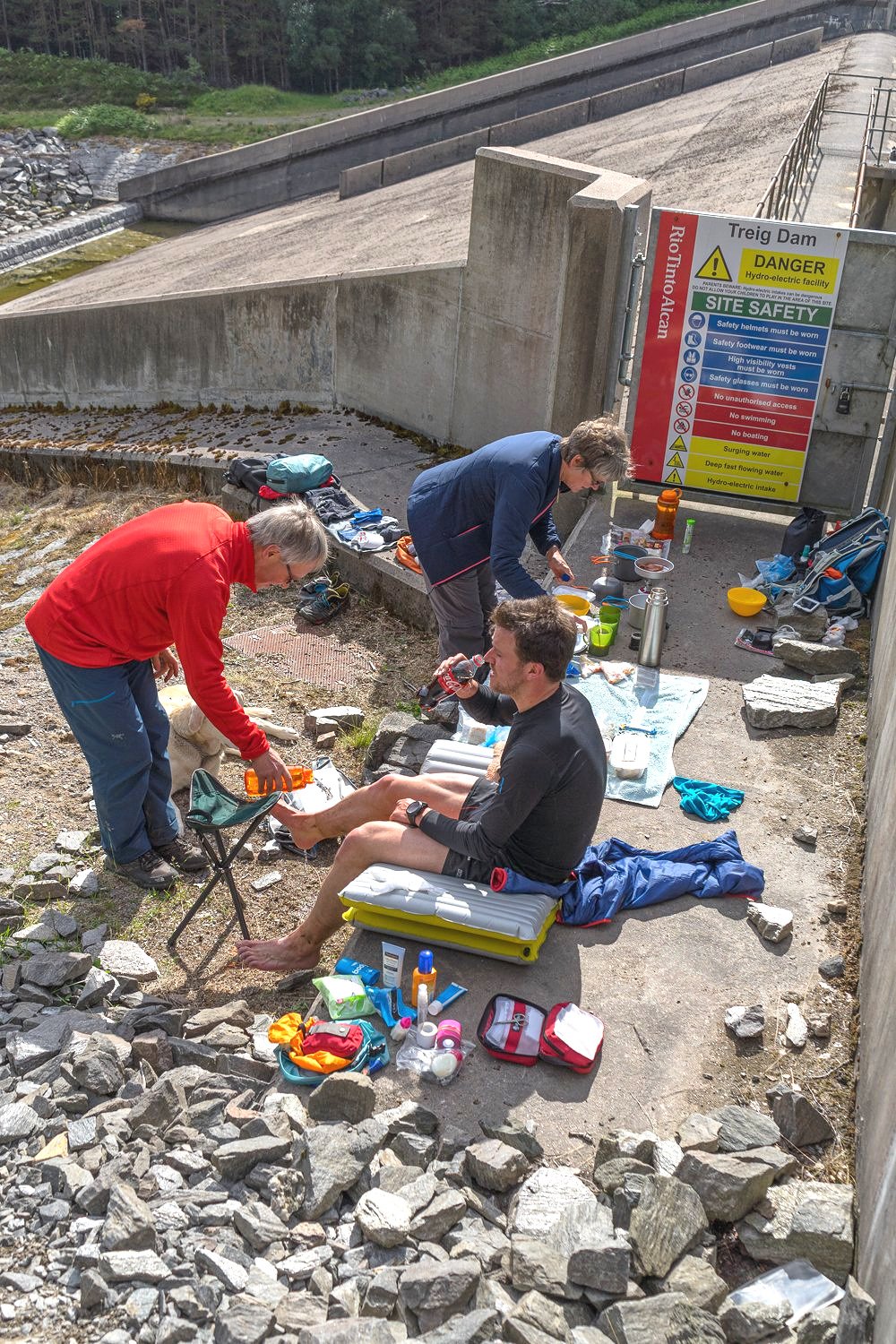
Credit: David Lintern
